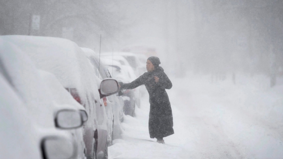
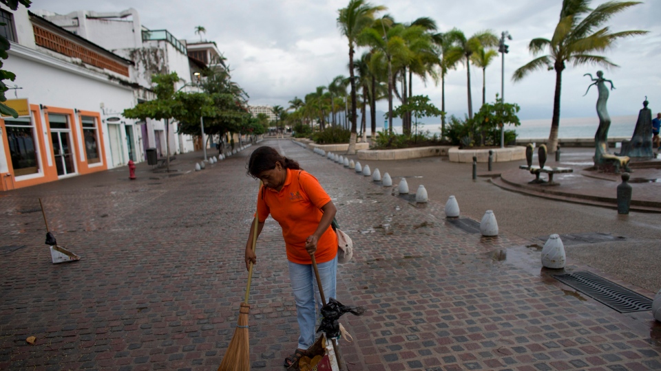
A flow of warmer-than-average waters from the Pacific Ocean is one of the reasons why Hurricane Patricia grew into the strongest storm ever recorded in the Western Hemisphere. It's also one of the reasons Canadians may be in for a more mild winter this year.
El Nino is a pool of warm ocean water that's driven from a change of winds, normally blowing from east to west, but now blowing from the west to the east.
The warm water is driven across the Pacific Ocean, from Indonesia to the coast of South America, Environment Canada Senior Climatologist Dave Phillips told CTV's Canada AM.
"Water there is up to two-and-a-half to three degrees warmer than normal," he said of the pool of warm surface water around west coast of Mexico. "It's like a hot tub out there."
Phillips said El Nino's warmer water connects to the atmosphere, causing weather "mayhem" across the world, but in a "very predictable way." El Ninos occur at irregular intervals of two to seven years, and typically last between nine months to two years, according to the U.S. National Weather Service.
Forecasters are predicting that El Nino's effects will also be felt across Canada this winter, resulting in fewer bristling cold days.
"It typically doesn't arrive for us until late fall and winter. But unlike the rest of the world, it does create, perhaps for some people, a good news story," Phillips said. "If you don't like your winters tough, El Nino does bring balmier-than-normal weather."
Phillips said, while there's no guarantee, El Ninos of the past have been associated with mild and warmer-than-normal winters. This may come as a relief for Canadians living in the central and eastern parts of the country, who suffered through a brutally cold and long winter last year.
"For us, wait for a couple of months, and we'll clearly see some warm Pacific breezes instead of Arctic air," he said.
Meanwhile, El Nino certainly played a role in intensifying Hurricane Patricia, Phillips said.
Last Wednesday at 10 p.m. ET, Patricia was deemed a tropical storm, with winds of approximately 105 km/h.
"Then it came over the warm waters of El Nino and it was like a shot of adrenaline, or a shot of steroids," he said. "It just absolutely exploded."
By 4 a.m. ET on Friday, Patricia's winds were measured at 322 km/h, a record for hurricanes.
Phillips said, because of the warm waters, Patricia went from a "mediocre" storm to "almost a monster" in a very short period of time.
"It was really El Nino that gave it the fuel, the octane to make this a powerful storm," he said.
Patricia is the ninth Category 5 storm of 2015, which is a tie for the second most on record in a year, meteorology director of the Weather Underground Jeff Masters told The Associated Press. A Category 5 storm is a storm with winds of 252 km/h or higher.
With files from The Associated Press


